

Seven South Island lakes: views and stops
These seven lakes are all on the South Island, but they do not form a short day trip. Group them into Mackenzie (Tekapo and Pukaki), the Wānaka–Queenstown area (Hāwea and Wakatipu), and Fiordland (Te Anau and Manapouri). Rotoroa in Nelson Lakes belongs to a separate northern leg.
Lake Tekapo / Takapō
A turquoise Mackenzie Basin lake with open shores and mountain views. It fits a journey between Christchurch and the central South Island.
Viewpoint or lakeside walk: Mt John · Map
Time: 30–60 minutes on the shore; allow separately for Mt John access.
Check Mt John road access, opening hours and weather restrictions.
Lake Pukaki / Pūkaki
The lake is known for glacial turquoise water and views toward Aoraki/Mount Cook. Combine it with the national-park approach road and Twizel stops.
Viewpoint or lakeside walk: Pūkaki Kettle Hole Track · Map
Time: 20–40 minutes for a short viewpoint stop; allow separately for the walking track.
Cloud can hide the peaks. Use designated parking and check track conditions.
Lake Hawea / Hāwea
A mountain lake near Wānaka with broad shores and a quieter setting. It makes a separate stop between Wānaka and Haast Pass.
Viewpoint or lakeside walk: Gladstone Track · Map
Time: 30–60 minutes on a selected lakeside section.
Check wind, access to your chosen section and SH6 road restrictions.
Lake Rotoroa — Nelson Lakes
This is the Nelson Lakes National Park lake in the northern South Island, not the Hamilton lake or Rotorua city. Lakeside forest and quiet views suit a walking stop.
Viewpoint or lakeside walk: Jetty shore and Nature Walk · Map
Time: 45–90 minutes for the shore and a short walk.
Check DOC alerts and local road access. Do not combine Rotoroa with the southern lakes in one short day.
Lake Wakatipu / Whakatipu
The long lake links the landscapes of Queenstown, Glenorchy and Kingston. Different shores give different perspectives, so choose one side for an outing.
Viewpoint or lakeside walk: Bennetts Bluff Viewpoint · Map
Time: 20–40 minutes for a viewpoint stop, plus the selected lakeside drive.
Check weather, parking and conditions on the Glenorchy road.
Lake Te Anau
A large lake at the gateway to Fiordland. The town shore offers mountain views and a gentle walk without committing to a long alpine route.
Viewpoint or lakeside walk: Lakefront · Map
Time: 30–60 minutes for a short lakefront section.
Match the walk length to your group’s time; the full river route is much longer.
Lake Manapouri
An island-studded lake with mountain shores near Te Anau. Manapouri is also a departure point for Doubtful Sound programmes, which need separate time.
Viewpoint or lakeside walk: Frasers Beach · Map
Time: 30–60 minutes for a lakeside stop.
Check weather and the operator’s departure if adding a water-based tour.
Fit it into your itinerary
Agree 2–3 stops in one region rather than trying to see every lake at once. Add overnight stays for a route through several regions.
Time to allow
The allowances above are for stops, excluding driving. Calculate road time and selected walking routes separately.
Before you travel
Check DOC and NZTA, weather and permitted parking. Mountain views depend on cloud; do not stop in the traffic lane for photographs.
Official sources and bookings
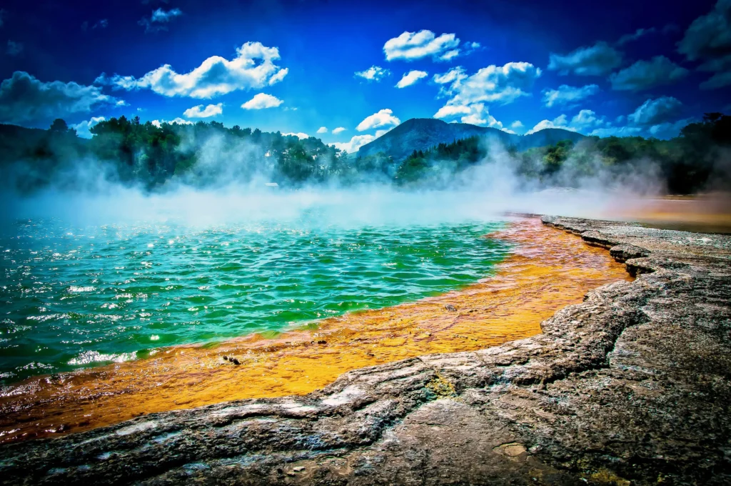
The illustration represents the destination or transport category and is not a documentary photograph. Check current schedules, prices and access through the official links before travelling.